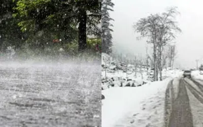
ANCHORAGE: The National Weather Service (NWS) has issued four Winter Storm Watches across parts of Alaska, warning of heavy snowfall, powerful winds and significant ice accumulation from Sunday night through Tuesday.
The agency said a strong weather system was expected to move through the region, bringing hazardous winter conditions from Sunday night into Monday, with snowfall continuing in some areas through Tuesday.
Two of the watches cover Thompson Pass, Haines, Skagway and White Pass, where between 6 and 12 inches of heavy snow could accumulate. Tonsina and Mile 46 are also forecast to receive between 3 and 12 inches of snow.
On the other hand, Heavy rainfall and strong winds from the first major winter storm of the season have flooded thousands of displacement tents across the Gaza Strip, leaving tens of thousands of Palestinians struggling to find dry shelter.
The storm began late Nov. 6 and brought torrential rain and strong winds, inundating makeshift camps and soaking mattresses, blankets, clothing and food supplies.
According to Gaza's Government Media Office, approximately 70,000 tents were flooded within 12 hours, leaving displaced families exposed to harsh weather conditions.
Gaza's Civil Defence said it received around 1,500 emergency calls from displaced residents as floodwaters entered camps and damaged temporary shelters.
Many Palestinian families have been living in overcrowded tents and makeshift accommodation following the widespread destruction of residential buildings and essential infrastructure during the war.
Emergency response efforts have been hampered by shortages of fuel, water-pumping equipment and shelter materials. Damaged drainage systems have further increased the risk of flooding in displacement camps.
The latest storm has raised concerns about the approaching winter season, particularly for children, elderly people and families living in coastal camps exposed to heavy rain, strong winds and falling temperatures.
Thompson Pass could experience wind gusts of up to 45 mph. The NWS forecast a period of light to moderate snowfall Monday morning, followed by heavier snow Monday evening through Tuesday morning.
The fourth Winter Storm Watch covers Whittier, Moose Pass, Seward, Girdwood, Turnagain Pass, Portage, Hope, Summit Lake and Chenega. It remains in effect from Monday morning through Tuesday afternoon.
The NWS warned that easterly winds in Whittier and the eastern Turnagain Arm could reach 60 to 70 mph before weakening Tuesday afternoon. Such powerful gusts could cause extensive damage to trees and power lines.
The affected areas could also receive between 3 and 10 inches of snow, along with ice accumulation of up to one-tenth of an inch.
Weather officials cautioned that the combination of heavy snowfall and strong winds could create blowing snow and significantly reduce visibility, making travel extremely difficult.